The UK’s survey specialists
Using the latest technology and a practical, hands-on approach, we deliver precise, reliable surveys that help our clients plan, design and build with confidence.


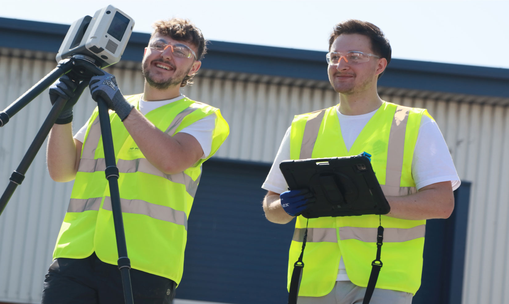
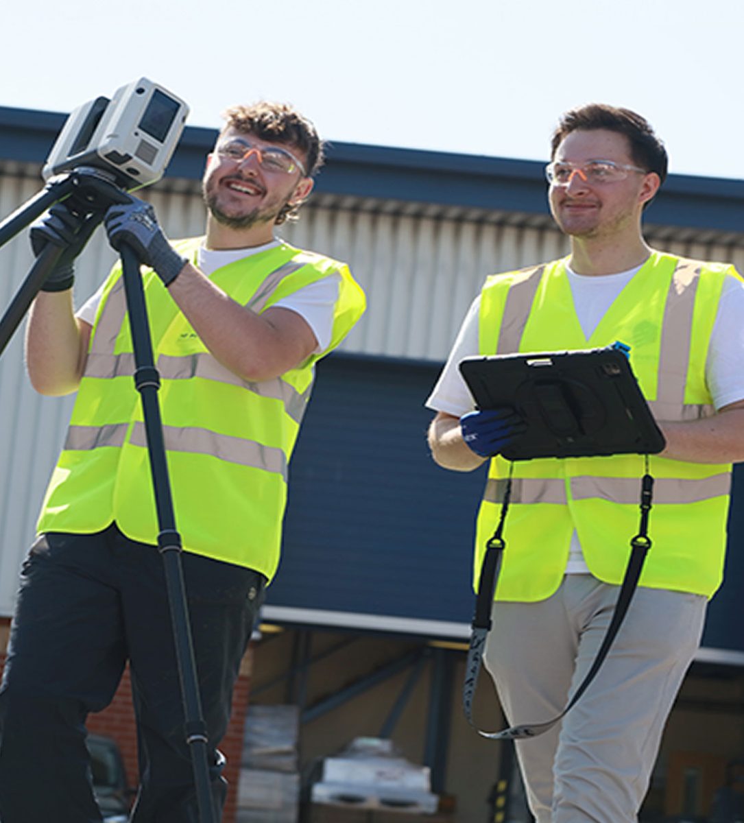
Who we are
We’re a multi-disciplinary surveying company providing accurate, high-quality data to clients across the UK. From topographical and measured building surveys to 3D laser scanning, we tailor our approach to the needs of each project, guaranteeing the very highest quality deliverables for our clients.
Based in the East Midlands, we’re a close-knit team with national reach – small enough to be agile, yet capable enough to handle projects of almost any size or complexity. Every job we take on is delivered with care, communication, and technical excellence from start to finish.


What we do
From our HQ near Birmingham, we travel throughout the country, providing a range of surveying services to support the full lifecycle of your projects. From initial site assessments as-built verification, our workflows are streamlined for rapid response, accuracy, and efficiency.
-
Topographical Surveys
Topographical
SurveysAccurate, detailed mapping of land and site features, perfect for planning, design and more. We capture every contour, level and boundary to give you a clear picture of your site.

-
Measured Building Surveys
Measured Building Surveys
High-resolution surveys that capture the true detail of your building, inside and out. We deliver floor plans, elevations, sections and 3D models that fit seamlessly into your workflow.
-
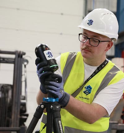
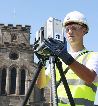
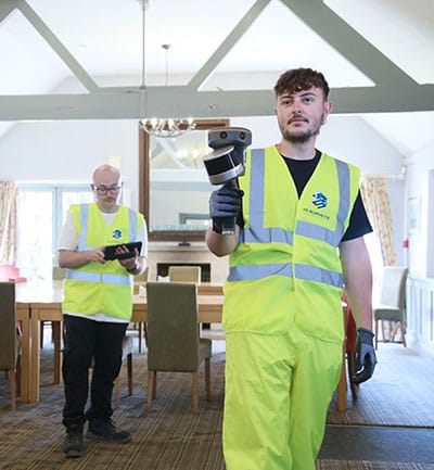
3D Laser Scanning
3D Laser
ScanningFor projects where precision really matters, our laser scanning service captures millions of data points to create accurate digital representations of structures and spaces.
-
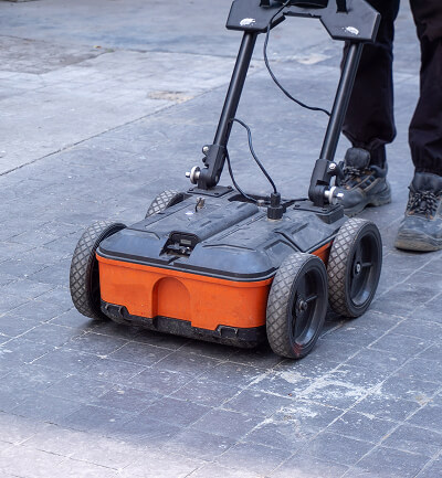
Utility Surveys
Utility
SurveysWorking to PAS128 standards, we trace and map underground utilities, revealing what lies beneath and helping you proceed with confidence.
-
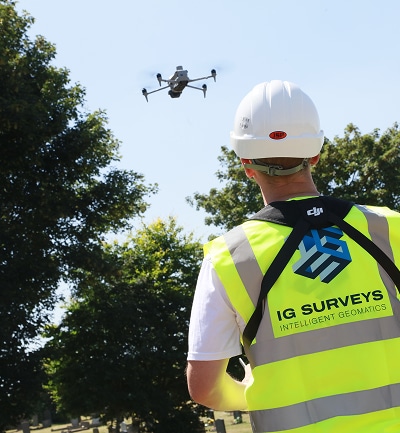
Drone and Aerial Surveys
Drone and Aerial Surveys
Our UAV and aerial mapping survey teams capture high-resolution data of your site, whether it’s an open plot, a complex roof or a large construction area.
-
360° Virtual Tours
360° Virtual Tours
Our immersive 360° virtual tours give clients, designers and stakeholders instant remote access to buildings, spaces and construction sites.


“From the outset, their communication and professionalism were first-class.”
The team arrived fully prepared, worked efficiently on site, and delivered the final drawings well within the agreed timescale. The quality and accuracy of the survey data exceeded our expectations, giving us complete confidence in using it as the foundation for our design work. The attention to detail and clarity of the finished drawings have been invaluable to our project team.

Damian Finnie, Head of Technical Specification

The team arrived fully prepared, worked efficiently on site, and delivered the final drawings well within the agreed timescale. The quality and accuracy of the survey data exceeded our expectations, giving us complete confidence in using it as the foundation for our design work. The attention to detail and clarity of the finished drawings have been invaluable to our project team.


Speak to one of our experts today
We help clients across the UK turn complex sites into clear, reliable data. Whether you need a single survey or full multi-discipline support, our team is ready to help.